Working together to strengthen coastal resilience
Coastal areas are vital ecosystems that are home to 40 percent of the world's population and host biodiversity hotspots crucial for carbon sequestration. Despite their great importance, a comprehensive understanding of these areas was lacking until recently.
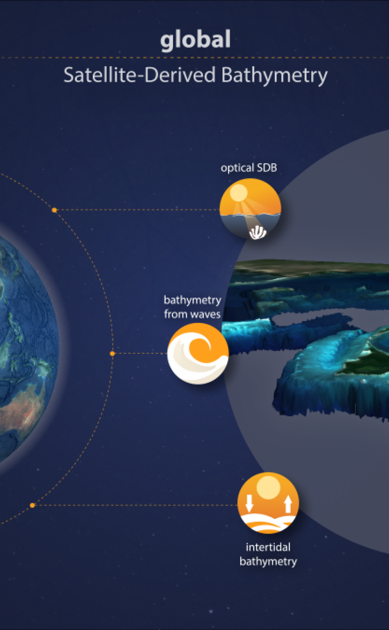
Deltares is proud to be working with leading partners, EOMAP and GGS Geo Consultancy, to provide global shallow water bathymetry (measurements of the topographic elevation of the seafloor) for the Copernicus Marine Service. This project is part of the European Union's Copernicus programme, which focuses on obtaining information about our planet from space.
This cooperation represents a major step forward in understanding and mapping coastal areas, for society, economy, and ecology alike. Deltares' focus in this cooperation is on providing global high-quality intertidal bathymetry (information about the depth of water in areas between high and low tides). We do this by using our expertise in water modelling and our extensive knowledge of coastal areas. We combine water levels with the comprehensive Sentinel-2 data archive.
This approach addresses the ever-growing need for consistent coastal mapping in both data scarce and rich environments, providing crucial information to several applications like morpho-dynamic modelling
Etiënne Kras, expert Resilient Ports & Coasts, Deltares
The collaboration aligns with our commitment to open data, the use of new key technologies, co-creation with others and more data-driven decision-making for understanding and protecting our coastal zones for a sustainable future.
View the latest press release for more details on this valuable collaboration in providing global shallow water bathymetry for the Copernicus Marine Service, conducted by Mercator Ocean International: MOi contracts Deltares, GGSgc and EOMAP for global shallow water bathymetry - Earth Observation & Environmental Services | EOMAP