
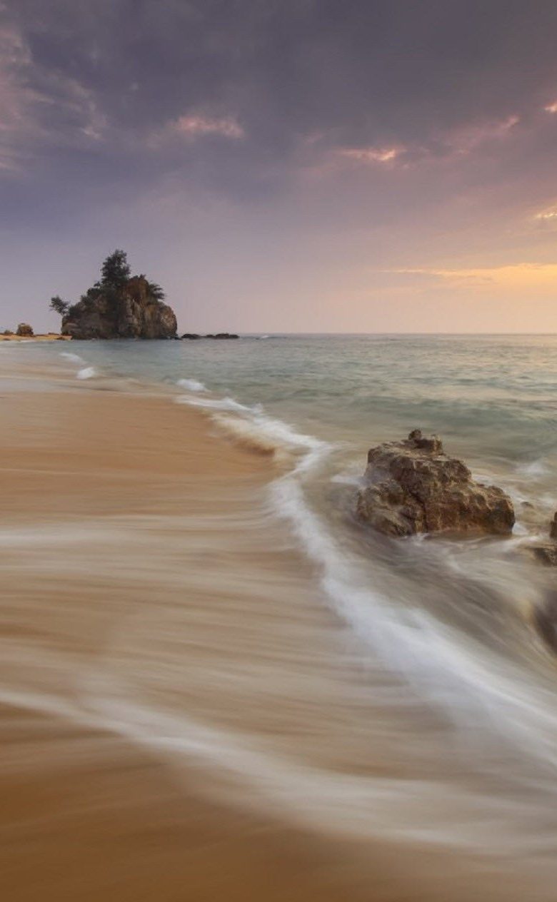
Beaches worldwide are growing
We love holidays on the beach and about a quarter of the world's population live on coasts because of the favourable economic location. But until now we have had only a very vague picture of how coastal areas have evolved worldwide over the years. Scientists in Delft are changing this. Researchers from Deltares, Delft University of Technology and IHE have analysed changes in 50,000 beaches over a 35-year period. They present their findings today in Nature Scientific Reports.
General findings
For the first time, coasts and their long-term behaviour have been analysed on a global scale. The researchers were able to calculate that exactly 31% of the total coastline consists of sandy beaches. Beaches are monitored because they are vulnerable to changes in tide, wind direction and sea level rise. The researchers also noted that sandy coasts are few in number around the equator and towards the poles.
Arjen Luijendijk, researcher at Deltares/Delft University of Technology: ‘For years, the accepted idea was that 70% of our beaches were eroding. We were surprised to see that the sandy coastline does not actually erode that dramatically. Indeed: there are more beaches that grow than beaches that shrink. The main reason is that we are able to maintain our coasts well (as in the Netherlands) or even to expand them (as in Dubai and Singapore). A sometimes forgotten source of sand is the discharges from the mining industry’.
You have not yet indicated whether you want to accept or reject cookies. This means that this element cannot be displayed.
Or go directly to:
Coastal erosion often a local problem
The fastest rate of beach growth, eight meters a year no less, was seen in Namibia. It is caused by a mining company that has built sand hills in the sea for diamond mining. The Netherlands is also in the top ten of beach growth due to our beach nourishment policy and the construction of the Sand Motor.
Four of the seven largest eroding beaches are in the United States. Beaches in Louisiana and Texas are being hit particularly hard, sometimes receding by 15 meters a year. The Mississippi is the culprit in Louisiana where the sand supply has fallen sharply due to the damming of the river. One of the causes in Texas is groundwater extraction in response to the rapid growth of Houston.
Research method
Machine learning was used to detect 50,000 sandy coasts on the basis of 1.9 million satellite images. Gerben Hagenaars (researcher at Deltares): ‘This is a gigantic dataset that we were able to analyse using Google. Our analyses went back to 1984, which is when the first satellite images from NASA were available. To validate our new method, we compared coasts where extensive measurements have been made such as those in Australia, the Netherlands and the United States.’
The further development of this type of technology crucially depends on the availability of high-quality, comprehensive test sites on different types of coast worldwide. An international initiative known as ICON (‘International Coastline Observatories Network’) will provide what is needed.
The researchers processed all the data and made it available on a public map. Everyone can now use this tool to study the dynamics of his or her favourite beach.
Challenge for the future
Even though we can control erosion overall with good coastal management, problems have been identified at the regional and local levels, particularly in the United States and Africa. Local factors can be related to things like the construction of ports or other infrastructure, which can sometimes negatively affect the natural coastal dynamics. Sand is not always available locally to protect the coast. The main question for the future is whether there will be enough sand available to maintain all beaches.
This research was partly financed by NWO.