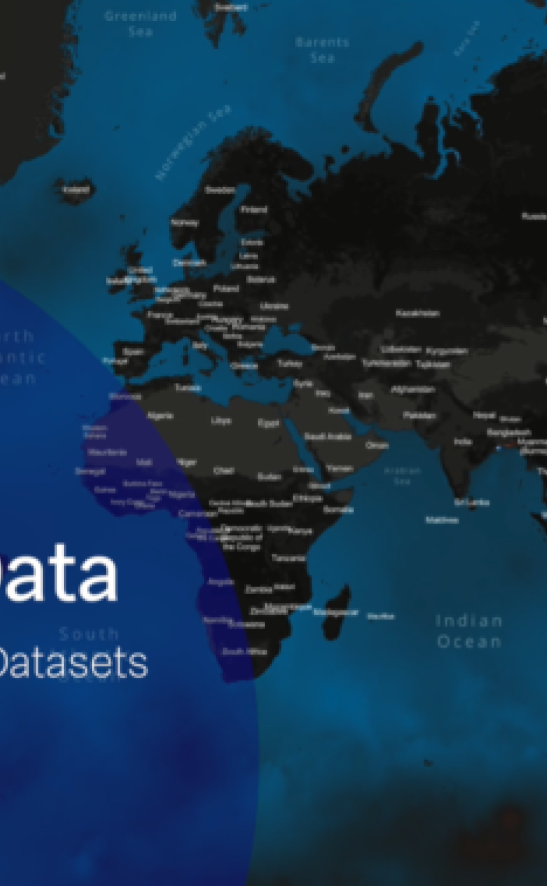
Global water data now easily accessible on the BlueEarth Data platform
Expert(s) |
Gert-Jan Schotmeijer
Water-related hazards – like flooding, drought, pollution and other related issues – are a serious global risk, causing loss of life and damage to property, livelihoods, human health and economies. Economic growth, urbanisation and climate change will exacerbate the risks at many locations in the world. For example, flood risks are often underestimated and poorly managed due to the lack of data, particularly in less-developed regions. In addition, preparing for future coastal erosion and flooding requires data on several hazards, examples being erosion, waves, and extreme events. Until now, these datasets have not been readily available in a single environment.
BlueEarth Data platform
Deltares has launched a new platform called BlueEarth Data this week. The plaform hares operational and historic water-related data for oceans, coasts and rivers on a global scale for professional specialists, researchers, and water managers all over the world. In accordance with our motto ‘Dare to Share’, various forecast systems and data services developed by Deltares are being combined on a single web-based platform where users can view, inspect, and download the data for free. BlueEarth Data is part of a larger initiative called BlueEarth, an integrated open platform with information and tools to support water-related planning processes. To explain the past and explore the future.
Jaap Kwadijk (Chairman Scientific Council Deltares): “This is a wonderful development. It is a major step forward. BlueEarth Data connects the research communities who work on coastal and river flooding and who have been separated for far too long. Even more importantly, by providing this kind of open access, BlueEarth Data takes the first step towards bringing global flood hazard information to everybody’s fingertips. That is a prerequisite for transparency in decision-making”.
Various data services and interactivity
The global data is presently grouped under the Flooding, Coastal Management and Offshore themes. These themes incorporate global datasets that include river discharge and storm surge forecasts, shoreline changes, bathymetry, and metocean conditions. Third-party data services have also been incorporated to fortify the integration of the various data services and interactivity with the community of users.
You have not yet indicated whether you want to accept or reject cookies. This means that this element cannot be displayed.
Or go directly to:
Timely action planning
The freely accessible data can be used to support action planning. Specifically, the availability of daily tide and surge predictions at the local and regional scales is key to plan actions in good time during extreme events. The operational global tide and surge forecast system can provide the information needed for this purpose for any location in the world. Users can view global forecast maps of water levels, surge levels and currents but also inspect and download the time series data in detail at the 1000+ locations. This is just one example of how Deltares modelling systems and data services deliver added value for society.
Dr. Gerben J. de Boer (manager Datalab Van Oord): “We are thrilled to see a new multi-thematic and interactive data portal to explore the wealth of ocean data. New web-based solutions like BlueEarth Data are needed in the GIS landscape to bridge the last mile: making the latest technological possibilities of cloud solutions available to solve questions from non-technical end-users.”
Access to a network of global data, experts and ideas
BlueEarth Data services allow decision-makers to access a network of global data, information, experts and ideas. We will soon be expanding the number of datasets in the platform in close consultation with our users, opening up new opportunities. We encourage users to share feedback and opportunities for collaboration with us to provide new solutions for a more sustainable future.