
New coastal elevation model significantly improves on vertical accuracy
Expert(s) |
Marieke Eleveld
|
Maarten Pronk
Scientists at Deltares have developed a cutting-edge global coastal Digital Terrain Model (DTM) at 1 arc-second (~30 m) resolution. In our work, we extensively use elevation models as input for our numerical models, but we noticed that current, freely available elevation models are not accurate enough for our purposes. Our experts decided to create a new elevation model, making use of the latest remote sensing data.
To model future extreme water levels due to Sea Level Rise (SLR), subsidence and the worsening of storm surges, we require elevation data having a high accuracy (within 1 m) and for all the coastal areas of the world. To do so, local airborne lidar data is sometimes used, but because this is expensive, it is not available everywhere.
Important step in the usability of global elevation models
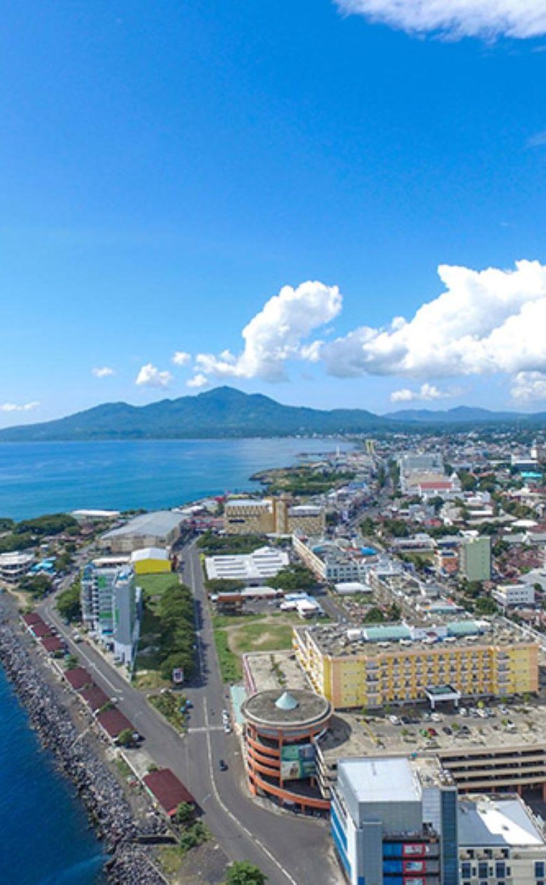
In areas where this data is missing, for instance in South-East Asia, we fall back on global elevation models to assess - among others - coastal flood risk. However, these models measure the upper part of canopy and buildings also, and thus do not represent the bare earth and height everywhere. The differences between the model and terrain can be tens of meters for vegetated areas.
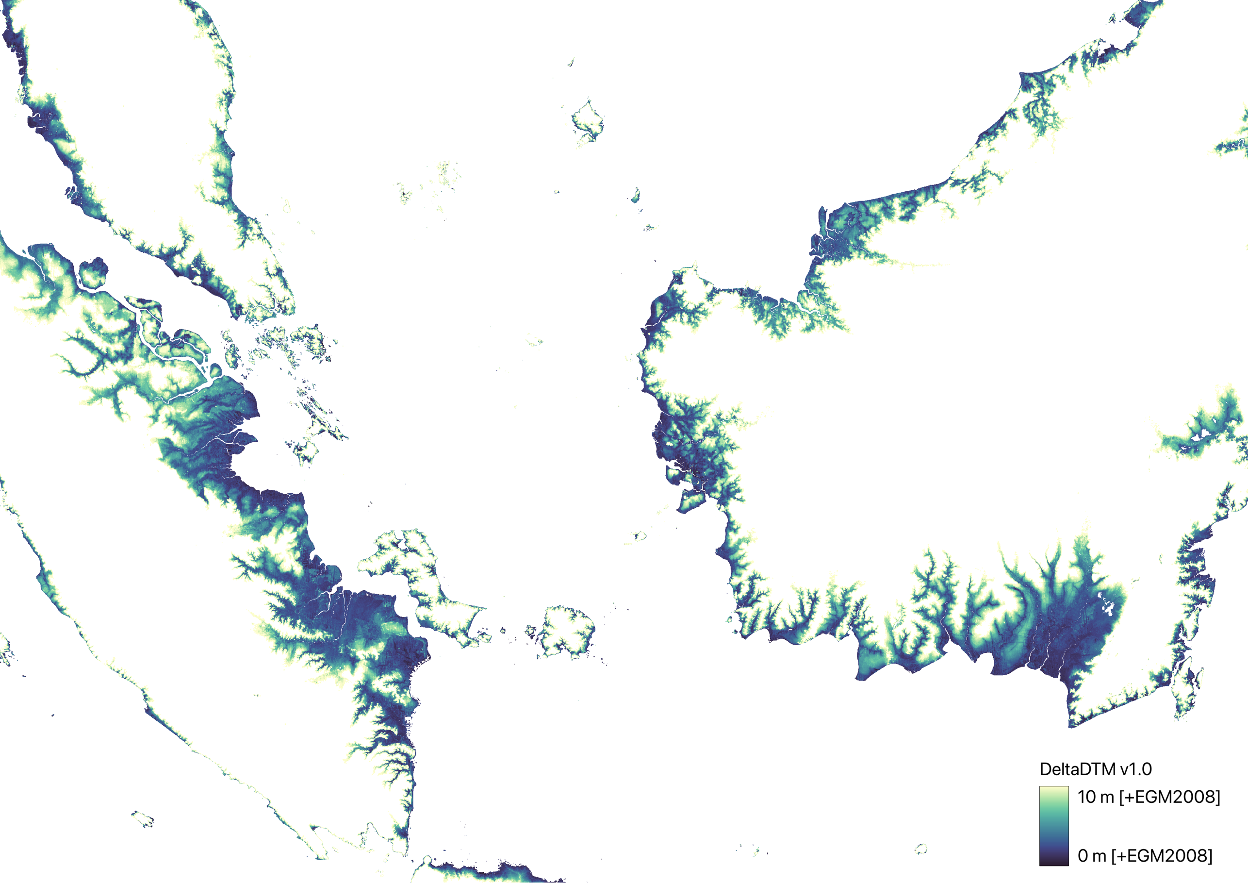
The newly developed DeltaDTM is the first global coastal elevation model that has an accuracy within 1 m, marking an important step in the usability of global elevation models to assess sea level rise for instance. Maarten Pronk, a PhD candidate at the Delft University of Technology and an elevation modelling expert at Deltares, was responsible for creating the model.
Maarten: “Ever since the global satellite lidar data became available, we have made plans to improve global terrain models. Former colleagues Ronald Vernimmen and Aljosja Hooijer (now both at Data for Sustainability) and I started out with a 5 km model (GLL_DTM). We have now improved upon this work, by including even more lidar data and fusing with existing elevation models, to reach a 30 m resolution. It required a thousand times more compute power, which we solved by extensively parallelizing our workflow in the Julia programming language.”
Marieke Eleveld, senior remote sensing expert and Maarten’s colleague at Deltares says; “DeltaDTM benefits from fusion of datasets using the strengths of fundamentally different remote sensing techniques and with the synergy from these higher-level satellite datasets we can correct for biases and remove points that are not on the ground but are from tree canopies or buildings.”
Global lidar data
The high accuracy of DeltaDTM is achieved by combining the most recent radar-based global CopernicusDEM elevation model with satellite lidar data, freely distributed by the NASA ICESat-2 and GEDI missions. “These missions are ongoing, so we can expect further updates and improvements to DeltaDTM in the near future” says Maarten Pronk.
DeltaDTM was already used by his Deltares colleague Panos Athanasiou for extraction of global coastal characteristics.
We anticipate that this global coastal lowland relief can serve as a valuable base in many other further geospatial analyses.
Marieke Eleveld, senior remote sensing expert
You’ll find all technical details and links to the DeltaDTM dataset in this open access paper. This paper is part of Maarten’s PhD research in collaboration with the 3dgeoinfo research group at Delft University of Technology.

