
Safe and secure water resources for next generations
The Kingdom of the Netherlands organised the ‘Arria-formula meeting’ on 26 October 2018, in which UN Security Council and UN member countries discussed the links between water, peace and security, and the need for improved information to be better positioned to take timely and adequate action to prevent far-reaching societal consequences of water shortage – either climate-induced or man-made.
The cooperation of various institutes around the world
The Water, Peace and Security Partnership (WPS), which is supported by the Dutch Ministry of Foreign Affairs, led by IHE-Delft, and with current partners Deltares, World Resources Institute (WRI), The Hague Centre for Strategic Studies (HCSS), Wetlands International, International Alert, Pacific Institute, New America and Oregon State University works on the development of tools and approach to support preventive action to reduce the risk of water-induced human insecurity.
The impact of open data and knowledge
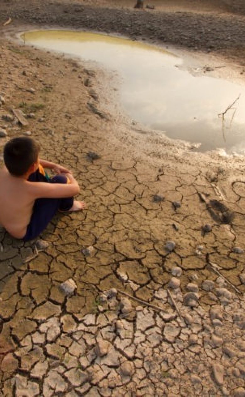
Deltares contributes to this effort by developing state-of-the-art tools and models to monitor and forecast water shortage situations. Using satellite images and the Google Earth Engine, Deltares colleague Gennadii Donchyts developed a tool to monitor near-real time area extents of surface water reservoirs. The change in surface area of 5000 reservoirs in the Middle East and North Africa region can now be monitored through this system.
To provide forecast of whether water shortage may occur in the coming three months, Deltares colleagues involved in the CRUCIAL Copernicus project are developing a global water resources forecasting system that includes both the natural system and human water use and management.
Results are processed to feed into a global water-induced risks information system, hosted by WRI on the Resource Watch platform, which combines water information with social -, economic – and institutional information.
Global as well as on the ground
Whereas the global tool gives insight in where and when a water-induced human insecurity risk may occur, deciding on the right actions to take will require zooming in into specific hotspot areas. A more detailed rapid assessment of the combined water and social system will be required. As part of the WPS project, Deltares is testing methods for that as well regarding three objectives:
- Verifying whether the risk identified by the global system indeed exists – this require a rapid approach, based on freely available global data sets.
- Assessing the effectiveness of possible action – this requires a location specific model with explicit links between climate, the water resources system, and the responses of different groups in the society of a specific region.
- Allowing for further use in dialogue processes with various actors – for this we develop a tool that is transparent and interactive.
We are currently applying and elaborating this way of working for the Upper Niger/Inner Niger Delta in Mali, with the aim to develop a generic approach that can easily be replicated in other areas.
The urgency to act now
It is important that decisions to take action are based on the best available knowledge and validated data. Something our tools and approaches aim to deliver. However, these tools and approaches will only be of value if they can be used in practice to help take decisions on where, when and how to act.
Therefore we would like to invite those organisations that are involved in preventive action to get involved to jointly develop these tools and approaches to match your information needs.
You have not yet indicated whether you want to accept or reject cookies. This means that this element cannot be displayed.
Or go directly to: