FAST: Foreshore Assessment using Space Technology
The European Programme for Research is funding a consortium of five European institutions: the Netherlands (Deltares and NIOZ), United Kingdom (University of Cambridge), Romania (GEOECOMAR) and Spain (University. of Cadiz), to work on the FAST project (Foreshore Assessment using Space Technology).
Building a tool
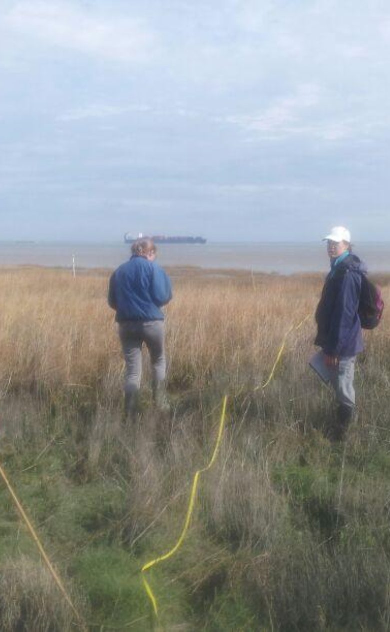
With FAST, this consortium will generate the first standardised tool for integrating ecosystem properties into flood risk management strategies. To achieve this objective, space technology and field measurements will be combined to study eight foreshores and floodplain ecosystems in the four European countries. The FAST project started on 1 January 2014 and will last 4 years.
Developing software
The FAST project will develop a new service to improve strategies for flood risk management by increasing sustainable development and cost reductions with the integration of ecosystem services into traditional flood risk engineering solutions. The FAST tool will be a software package that utilizes earth observation data streams from satellites such as Sentinel.
The development of this software requires estimating environmental and biological characteristics of foreshore and floodplain ecosystems from satellite images. To do so, it will need field data calibration, the development of relationships between ecosystem and coastal defence properties, and the translation of science into engineering and economic language.
Involvement of end-users
A key aspect of the FAST project is the involvement of end-users during the design, development and validation of the software. The end-user groups include environmental agencies, coastal offices, councils, land use managers, non-governmental organizations and private companies. The close contact with end-user groups will help to produce tailored tools for regional end-user needs, ensuring commercial uptake and long-term continuation of services.