
Rapid design of Nature-based Solutions with new tool
To make Nature-based Solutions easier to apply, Witteveen+Bos and Deltares are jointly developing a tool. It allows natural solutions to be integrated into hydrological models and to quickly see their impact on river basins under different climate scenarios. This improves designs of Nature-based Solutions, supports co-creation processes and helps informed decision-making on water management and climate adaptation.

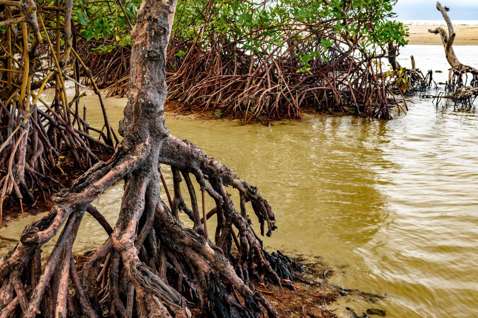
Nature-based Solutions (NbS) are solutions based on natural systems and phenomena. These natural solutions can be sustainable, cost-effective strategies for water management and climate change mitigation. By using natural processes and ecosystems, NbS increase climate resilience, improve water quality and counteract further biodiversity loss.
Hydrological models
The new tool from Deltares and Witteveen+Bos will enable users to efficiently integrate NbS into their hydrological models wflow and model building tool HydroMT. HydroMT (Hydro Model Tools), an open-source Python package developed by Deltares, streamlines the process of building and analysing spatial geoscience models, in particular models focused on water systems.
Wflow, also developed by Deltares, is a hydrological modelling programme known for its accuracy and adaptability. It is widely used for assessing flood risk, drought, climate change impacts and land-use change on a global scale.
Short calculation times
The collaboration brings together extensive expertise in hydrological modelling and NbS implementation, making the tool both advanced and applicable to real-world water management scenarios. The tool enables users to simulate different climate scenarios and visualise the consequences of NbS through the open source geographic information system QGIS. With relatively short computation times, the tool supports rapid schematisation and iterative design of natural solutions.
Co-creation
The fast simulations allow different NbS scenarios to be explored in real time. This facilitates a collaborative approach to solution design: stakeholders can thus easily contribute insights based on their local knowledge and expertise. Such a co-creation process ensures that implemented solutions are both more practicable and more effective because they are context-specific. Ultimately, well-informed decisions on solutions to climate-related challenges thus come within reach faster.
Impact
Deltares and Witteveen+Bos expect this tool to play an important role in improving climate adaptation strategies for river basins. By providing a user-friendly and scientifically robust platform, the creators aim to contribute to sustainable water management solutions and building resilient water systems that are more resilient to the challenges of climate change. The tool can significantly advance the design and application of NbS, making it a powerful tool for climate change adaptation.
Availability and accessibility
The tool is currently being developed by Witteveen+Bos and Deltares. Once completed, it will be released as an open-source tool, making it accessible to everyone. This ensures that a wide range of users, from researchers to practitioners, can benefit from its capabilities in integrating Nature-based Solutions into wflow.

