D-Eco Impact, ecological modelling software
For joint decision-making processes on the future of ecosystems, it is important to know how changes to the environment affect the ecological status. D-Eco Impact, our ecological modelling software, provides a flexible spatial ecological impact assessment tool that supports the discussion amongst ecologists, stakeholders, and policy makers.
D-Eco Impact allows users to freely use any input data sources available (e.g., expert knowledge, measurement, satellite, or model). These data sources are assessed based on their own criteria that reflect the ecological impact on the ecosystem. Thereby D-Eco Impact can be used to calculate the effect of environmental changes on the ecosystem based on future scenarios, policy projections and implemented measures.
Capabilities of D-Eco Impact
Typical research questions that are investigated with D-Eco Impact are:
- What is the effect of a change in surface water management on the suitable area for aquatic plants?
- How do we expect ecotopes to shift based on climate scenarios?
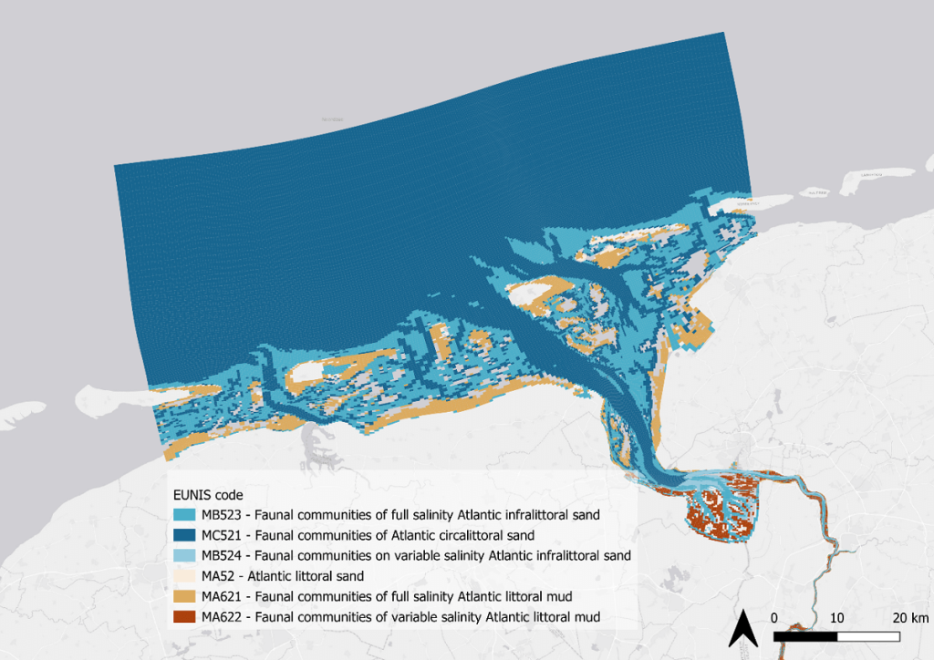
- Which area is suitable for different fish trait strategies and how does this change under hydropower operation?
- What is the ecological value of nature-based solutions for flood management?
- Which measures are most effective to meet the demands of policy frameworks such as Natura2000 and the Water Framework Directive?
- How sensitive is the ecosystem assessment to the specified ecological knowledge rules?
D-Eco Impact is widely applicable postprocessing ecological modelling software provided without a user interface and is therefore considered an expert tool. This allows users to use D-Eco Impact as a calculation core within other software products or frameworks dedicated to specific research questions, providing their own user interface.
D-Eco Impact can be used for impact studies relevant for resilient and healthy water systems for people and nature. It can provide in valuable information for scenario studies, habitat suitability analysis, and studies on the relation between the abiotic conditions and the species composition of an ecosystem.
Features of D-Eco Impact
D-Eco Impact computes the spatial ecological impact assessment based on the relevant variables provided in a data cube and the ecological criteria provided through the input file. Examples of variables that can be provided in the data cube are temperature, water depth, nutrient concentration, or sediment classes. This data can originate from expert knowledge, field measurements, satellite imagery or model results. This data sources than first need to be converted to a single data cube. In this data cube all variables are provided on the same spatial resolution but can vary in which timestep is provided (e.g., minutes, days, years or constant).
The input file contains a reference to the data cube used and the output provided. In between the rules that should be applied to the data are defined to come to an ecological relevant result. These rules determine the order of operation and consist of subsetting the data, assessing the data and deriving statistics.
D-Eco Impact:
- Operates on all relevant spatial or temporal resolutions scales (small scale, local, global, short term, long term).
- Allows for a flexible spatial schematization (point, polygon, grid mesh).
- Is expandable due to the code is written in Python and is provided open source.
- Ease of use by operating through and input file or as a python library.
- Can be connected to multiple modelling software output as long as this follows the international standard for the UGRID NetCDF format (e.g. Delft-FM 2D3D, Delft3D 4, wflow, iMOD).
- Adheres to the Interoperable and Reproduceable concepts of FAIR data processing, due to version numbering, the sharing of data through data cubes (UGRID NetCDF) and the input configuration (YAML).
Combine D-Eco Impact with other modules
D-Eco impact can be combined with the Delft3D FM modules:
If the output follows the UGRID NetCDF standard, D-Eco Impact can process the data. The output of D-Eco impact can form the input for dedicated frameworks and software that translate the output data to information on the effect for the ecosystem.
Availability of D-Eco Impact
D-Eco Impact is applied by Deltares in research projects, and we are currently updating D-Eco Impact based on the results of those research projects. If you would like to join, please contact us for our beta testing programme.