Marker Wadden
Marker Wadden is a group of natural islands located in the Markermeer. The islands are made with excess sediment taken from the lake bottom. The Marker Wadden were constructed to combat the loss of biodiversity in the area. As of 2017, they are being thoroughly researched. Between 2017 and 2022 in the Marker Wadden Knowledge and Innovation Program (KIMA1.0). Since then, KIMA2.0 has been started. Both are coordinated by Deltares.
The first studies focused on the themes of building with fine sediment, ecosystem development and governance. As a follow-up to the successful construction and knowledge development in the initial phase, a second knowledge program has been started. This program is intended to make Marker Wadden robust and climate adaptive. As in the previous Knowledge Programme, Deltares coordinates the research.
Marker Wadden 2017 - 2022
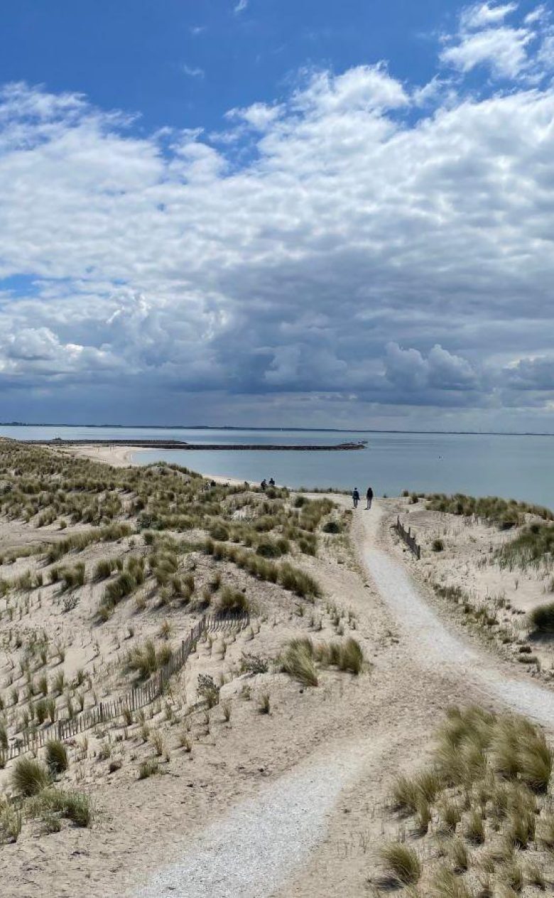
The Marker Wadden were constructed to combat the loss of biodiversity in the area. Swirling and suspended sediment in the shallow lake had negative effects on the food web. Construction has reduced the upwelling and created new areas on and above the water for nature development.
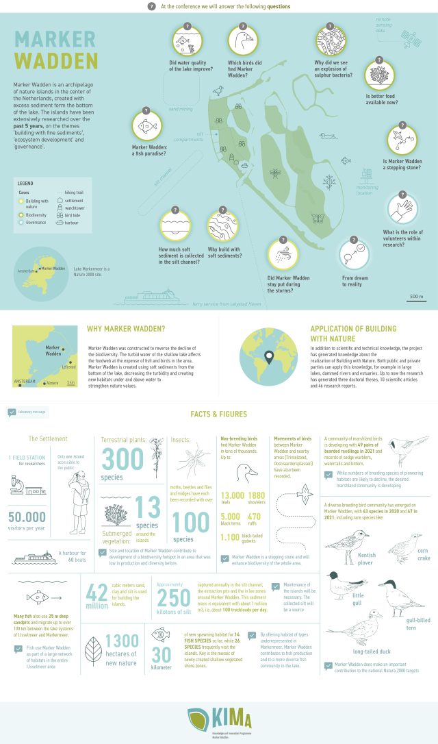
Continuous research was conducted between 2017 and 2022. This resulted in a synthesis report and a policy evaluation Marker Wadden. The infographic and video below briefly summarise the research questions and the facts & figures from the project (2022).
You have not yet indicated whether you want to accept or reject cookies. This means that this element cannot be displayed.
Or go directly to:
KIMA 2.0
The research results of the first Marker Wadden Knowledge and Innovation Program (KIMA1.0, 2017-2022) focused on the functioning of the islands themselves and the influence on the immediately surrounding waters. The results showed that the ecosystem is still developing and that there are still a few questions that are of great importance for future management and achieving the area goals.
In the follow-up project KIMA 2.0, the focus is therefore on the knowledge and questions regarding the functioning of the Marker Wadden as an engine for sustainable development of the entire Markermeer and the sustainable maintenance of the Marker Wadden itself, both physically and in terms of natural values.
The research focuses on:
- the interaction between the ecological processes on the islands
- the underwater landscape between the islands and the lake around Marker Wadden
The researchers want to gain more insight into the food and sludge flows between Marker Wadden and the surrounding area. We also want to offer perspectives for action for the maintenance of the islands and water level regimes for a robust and climate-adaptive reed marsh.
We do this by integrating field monitoring with modeling and we conduct further research using developed methods and experiences at KIMA1.0.
In the Marker Wadden 2.0 knowledge program we work together with 10 partners: Natuurmonumenten, Wageningen Marine Research, Sweco, Ecoshape, Rijkswaterstaat, Aeres University of Applied Sciences, University of Amsterdam, Municipality of Lelystad and Sportvisserij NL.