SURICATES reusing sediments to improve regional resilience
The SURICATES project (Sediment Use as Resource In Circular And Territorial EconomieS) implements new large-scale solutions for reusing sediments in ports, waterways and coastlines of North-West Europe (Interreg NWE programme). Solutions are available to the authorities, port and waterway managers and experts in erosion control.
To address climate change, erosion and the increased risk of flooding, attenuation measures need to be ramped up continuously, and this involves large quantities of natural resources. At the same time, EU ports and waterways providing access for shipping are faced with the problem of managing dredged sediments, totalling 200 million m3/year (80 million tonnes).
Today, just 1% of dredged marine sediments (800,000 tonnes/year) are reused. The aim of the European project SURICATES is to increase the reuse of these sediments to combat the risks of flooding and erosion.
In order to improve regional resilience to climate change, erosion and flooding, plans have been made to reuse sediments at three SURICATES pilot sites located in three geographical areas of the NWE zone:
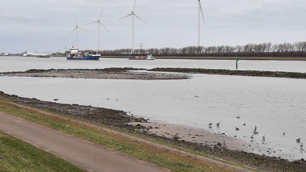
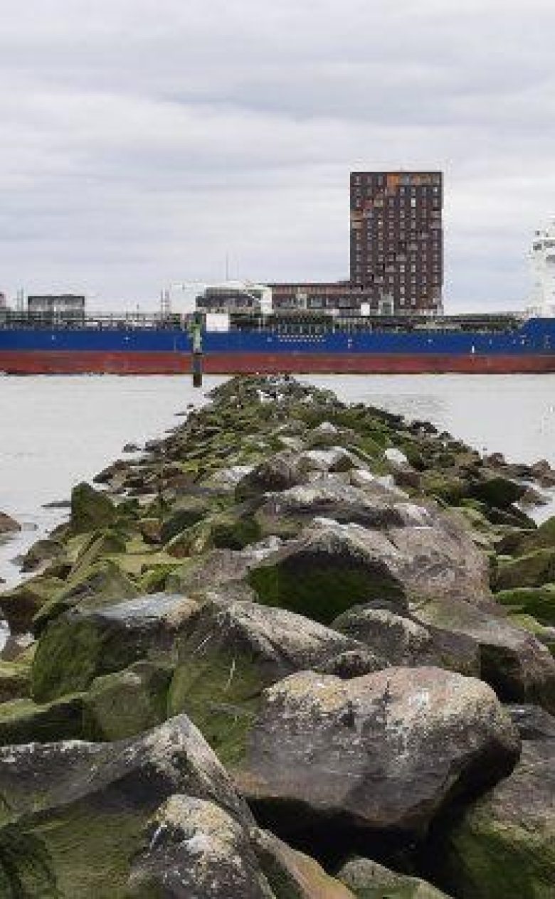
- Port of Rotterdam (Netherlands),
- Scottish Canals (Scotland, UK),
- La Hisse (Saint-Samson-sur-Rance, Brittany, France).
Overall, 220,000 tonnes of sediments will be used as raw material in four innovative projects, for the building of resilient protection systems. Our aim is to develop projects reusing 1.3 Mt/year of fine sediments within the next five years in the NWE zone and 2.3 Mt/year within 10 years in the EU.
In terms of the tonnage targeted for reuse, SURICATES can be described as a large-scale demonstration project.
Pilot Rotterdam Harbour
The large-scale (500,000 m3) reallocation of sediment in the port will restore a more natural sediment balance in the port and contribute to erosion and flood protection of the shore. The project is carried out with Port of Rotterdam and supported by RWS and WWF/Foundation ARK Natuurontwikkeling as part of the Building with Nature project "Groene Poort" (where the project can benefit from a better sediment balance).
The aim and reason is to determine the sediment balance before during and after reallocation. Living lab projects based on Building with Nature often struggle to determine the exact impact of the intervention, in this case the impact on the sediment balance around the Maeslant barrier (Nieuwe Waterweg). The combination of intensive surveys and new measurement techniques accurately determines this silt balance, and thus the effectiveness of the reallocation.
By putting the dredged sediment on stream, the foreshore development of the building with nature project "Groene Poort" will be enhanced and monitored. Three new measurement techniques are used for this purpose:
- Detailed tracer survey to track the origin, and thus the replenishment part, of the silt at Green Gate.
- Optical fibre-optic cables for spatial patterns in silt deposition and erosion, with the aim of establishing the sediment balance at system level.
- Using drones to measure the topography and shallow bathymetry of the Green Gate, establishing the impact of reallocation on the shallow lake/shrub zone in particular.