Dynamics muddy coasts mapped for the first time
Expert(s) |
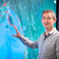
Arjen Luijendijk
|
Bas van Maren
Where muddy beaches are located and how they change has been visualised for the first time worldwide using satellite imagery, machine learning and various coastal datasets. This shows that three quarters of the world's muddy coasts have changed significantly since 1988.
A study by Deltares, TU Delft, KU Leuven, and Shanghai's East China Normal University, allows local insights and flood control solutions to be scaled up to other places in the world. The research has been published in Nature.
Fourteen per cent of the world's coastlines can be called muddy shores, the study found. Muddy coasts provide natural coastal defences and protect against erosion and flooding. They are also important habitats for flora and fauna, provide food and, in combination with salt marshes or mangroves, valuable ecosystem services.
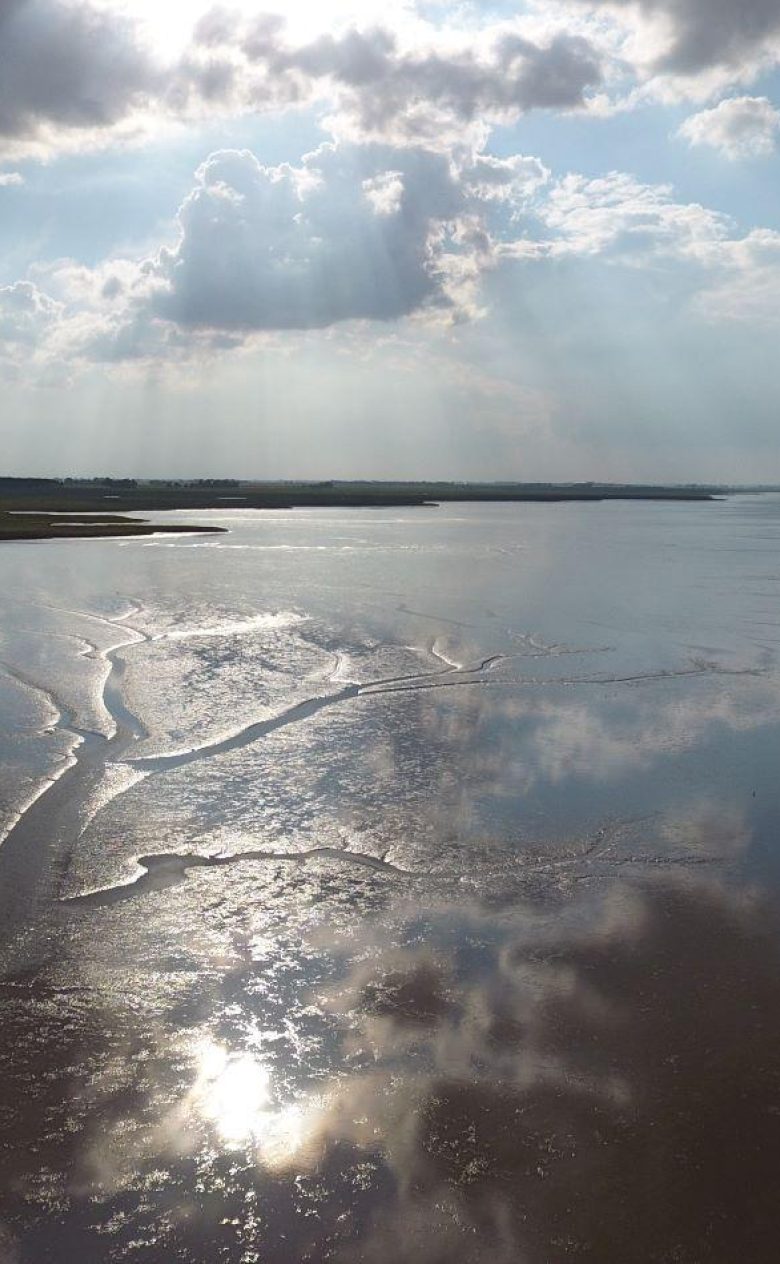
The Netherlands also has muddy coasts, especially in the Wadden area. Pressure on these areas will increase in the coming decades due to relative sea level rise, changing wave energy on the coast and human interventions.
Hotspots eroding and fouling coasts
The study reveals several spots where erosion and accretion of muddy coasts are going fast. To the researchers' surprise, 31 per cent of muddy coasts are eroding. "The strongest eroding mud coast in the world is in Bangladesh, its 29-kilometre coastline is eroding at an alarming average rate of 31 metres per year. Four of the seven largest erosive hotspots are in Bangladesh. Now we can clearly see what is happening and how urgent it is. Coastal safety is at stake there," said researcher Arjen Luijendijk.
Five of the seven largest growing hotspots are also on the Asian continent. But the Netherlands is also a hotspot. That part of the muddy northern coast of Friesland has grown considerably since 1984 was already known. Now the research team also saw that the silt is moving seaward at an average rate of 13 metres per year over a distance of 20 km. Given its length, this places the coast of Friesland fifth in the ranking of largest accretion hotspots in the world.
The forelands or salt marshes in front of the dykes are getting bigger. This offers opportunities for nature development, for example. It can also be a natural solution for water safety.
Bas van Maren, researcher fine sediment transport modelling and morphology at Deltares.
Combination satellite images and datasets make coastal change visible
There was much uncertainty and ignorance about the location of muddy coasts and shoreline changes worldwide. Thanks to the availability of public satellite images taken since 1984 and computational power provided by Google Earth Engine, the research team was able to detect muddy beaches and their changes around the world. Other datasets of coastal features such as temperature, tidal variations and elevation were also used. "We thoroughly validated the results with literature and regional studies. This created valuable new insights into the distribution of muddy coasts and how they change. These were also made more accessible by the team" said lead author Romy Hulskamp.
The paper 'Global distribution and dynamics of muddy coasts' was made by: Romy Hulskamp, Arjen Luijendijk, Bas van Maren, Antonio Moreno-Rodenas, Floris Calkoen, Etienne Kras, Stef Lhermitte and Stefan Aarninkhof