Resilient coastal developments and structures
Coastal zones worldwide face pressure of sea-level rise and changes to natural hazards. At the same time, human demands and services that are dependent on coastal zones are increasing. Because of this, coastal developments and structures should be resilient and implemented sustainably. Deltares’ approach in supporting the implementation of such developments is rooted in a comprehensive understanding of coastal dynamics, the environmental risks present, and the impact of human activity, such as coastal projects and structures.
How do you make sure your land reclamation stays in place with the least possible impact on the environment? How do you create or maintain a beach that is optimised in terms of safety, nature, and recreation? How do you minimise sedimentation issues in ports or erosion of the coast or a river?
Deltares maps the effects of existing and new infrastructure such as breakwaters, dams, and land reclamations, so that project developers, port authorities, governments, consultants, and contractors can make better choices for their design, construction, management and maintenance.
We look at whether we can create new opportunities for nature, economy, or recreation in the area. We look far ahead and include sea level rise, climate change, as well as population and economic growth.
How we work
At Deltares, we are committed to enabling sustainable and climate resilient coastal developments and infrastructure. This is how we ensure the longevity and minimal environmental impact in coastal developments and infrastructure projects:
- System understanding: We begin by obtaining a holistic understanding of the current coastal system, the natural hazards, and impact of existing coastal projects and structures. This includes studying hydrodynamics, waves, and sediment transport, supported by numerical modelling and data analyses if needed.
- Optimisation: We strive for optimisation in every project, seeking ways to enhance and balance safety, nature-inclusivity, and recreation.
- Impact assessment: Our team conducts thorough impact assessments using state-of-the-art tools like Delft3D, XBeach, Unibest, ShorelineS and remote sensing. We evaluate the potential effects of infrastructure on the current coastal system.
- Mitigation/adaptation measures: We implement mitigation and adaptation measures, including Nature-based Solutions (NbS), to reduce the adverse effects of infrastructure on the environment and adapt to changing conditions.
Our expertise
Deltares has a broad range of in-house expertise related to water, subsoil, and infrastructure, and is able to create multi-disciplinary project teams based on the technical challenges that are part of a resilient coastal development project, allowing us to support our clients in such multi-disciplinary projects in a highly effective and tailored manner.
For more detailed information on our methodologies and projects, please visit our subpages on morphological impact of coastal developments, land reclamations and beach design, port sediment management, and nature-based solutions below.
Morphological impact of coastal developments
Coastal areas are under increasing pressure from rising sea levels and human activities, leading to erosion, flooding, habitat loss, and infrastructure risks. Sustainable coastal zone management is essential to protect these ecosystems and communities. Deltares supports governments, project developers, contractors and other stakeholders that develop coastal areas to understand the potential morphological impacts and optimisation of adaptation measures in the coastal environment.
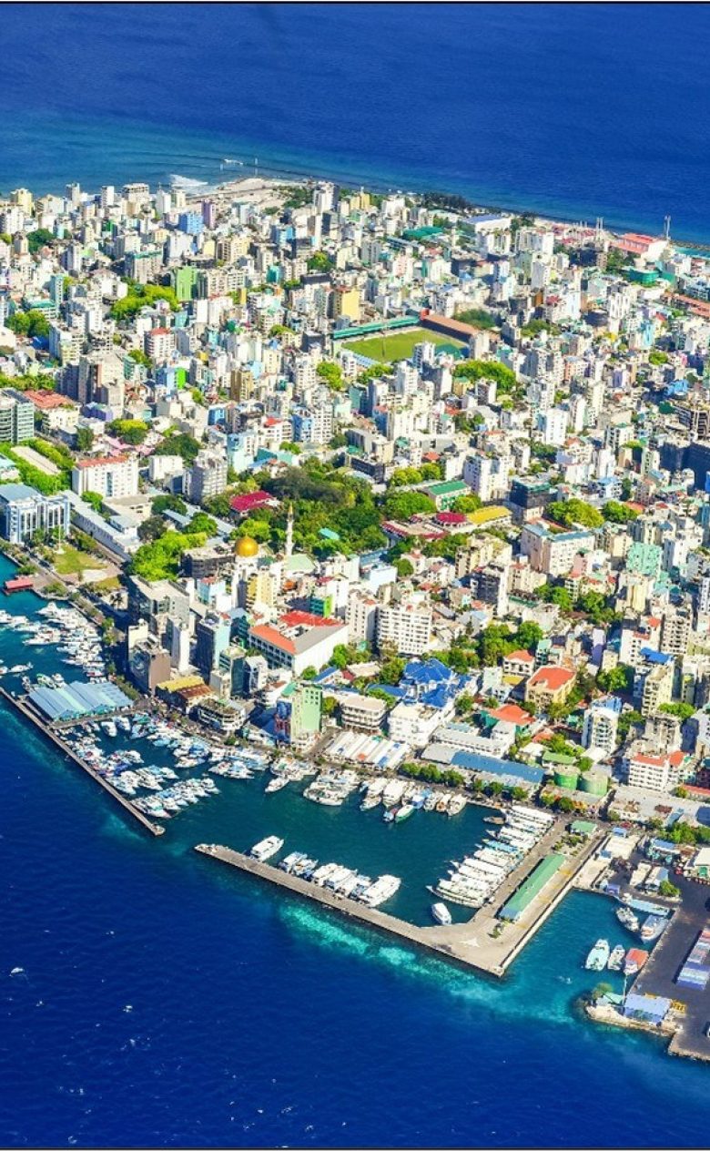
Land reclamations and beach design
Coastlines face growing pressure from rising demand and climate change impacts like sea level rise. Deltares helps clients develop resilient, sustainable beach designs and land reclamations, preferably integrated into the natural environment. By aligning with functional requirements and using tailored knowledge, tools, and models, we optimise both new and existing coastal developments.
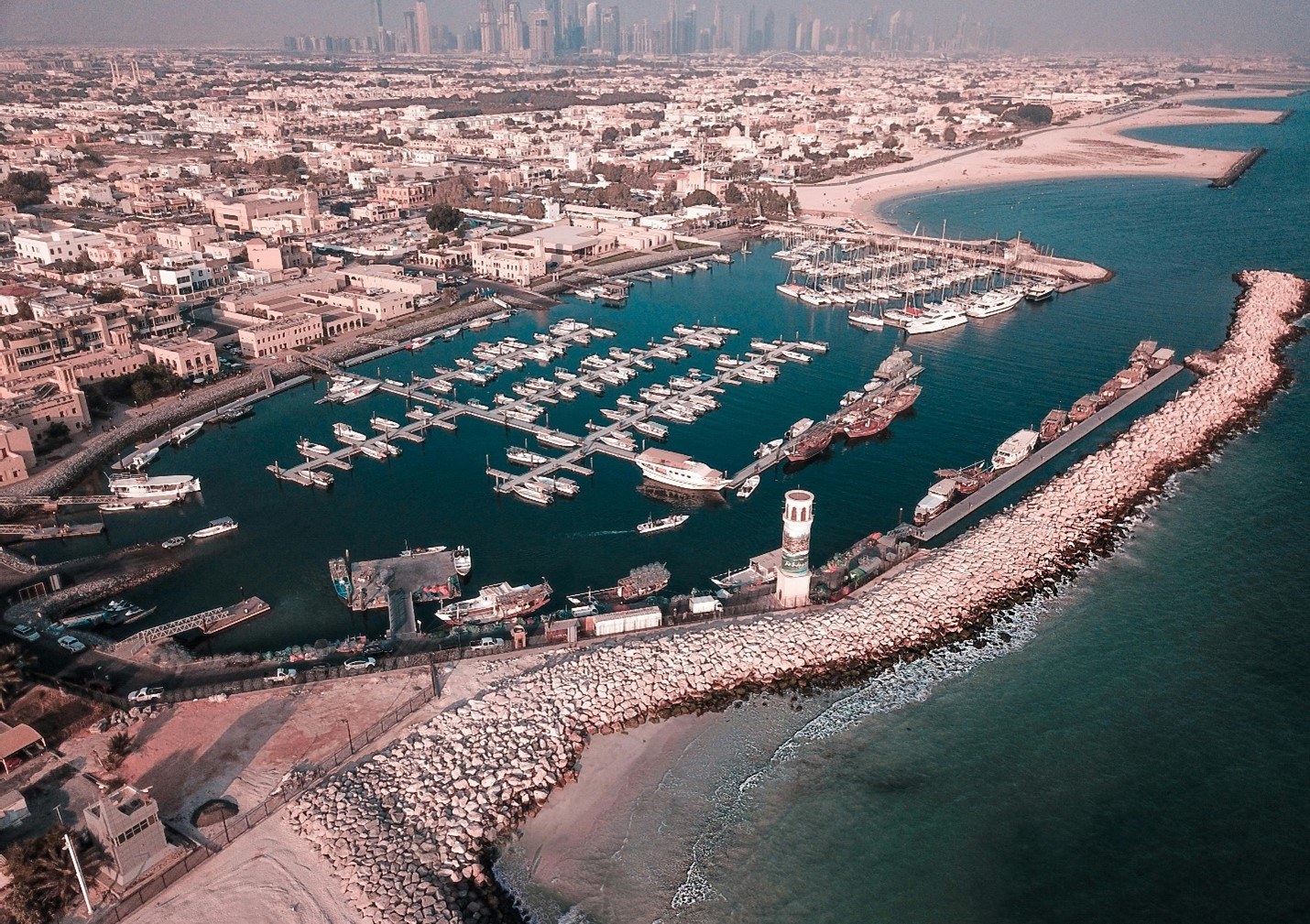
Sediment management for accessible ports and waterways
Many ports and waterways are confronted with sedimentation (or, siltation) which reduces the depth of shipping channels, berths, and port basins, which can pose a threat to their navigability. Though sediment management, for example with maintenance dredging or artificial sediment by-passing, ports can be kept accessible. Deltares supports port authorities, waterway managers and contractors to understand the causes of sedimentation and take measures that are effective and optimised in terms of their execution, cost, and impact.
More on sediment management for accessible ports and waterways
Nature-based Solutions
The call to build with nature instead of building against nature is now loud and clear, and it enjoys widespread support. We see government authorities, including water authorities, actively exploring how solutions can be designed in sustainable ways. Deltares contributes to these developments by developing knowledge for the large-scale implementation of Nature-based Solutions. We do this in studies conducted in the laboratory, experimental facilities or field experiments in combination with data science and scenario calculations using numerical models.
Coastal hydraulic structures
A coastal hydraulic structure, such as a storm surge barrier, jetty or breakwater, must be safe and stop large amounts of water. Deltares develops knowledge and resources to test and optimise the design of these structures. We are commissioned to test the load and strength and ensure a risk-aware design that guarantees safety for coastal residents.